
Ngaro Track: Walk Whitsunday Island
Three days, two camps and one slower way to reach Whitehaven and Hill Inlet.
The Ngaro Track connects some of The Whitsundays' most recognisable places at walking pace: Whitehaven Beach, Whitsunday Craig and Hill Inlet.
It is the only multi-day walking track in the Whitsunday Islands. Across three days, you walk 32 kilometres one way, from South Whitehaven Beach to Tongue Point, sleeping two nights at remote camps built just for the trail.
Whitehaven and Hill Inlet are still the reason most people come. The difference is everything you walk through to reach them.
What Makes The Ngaro Track Different
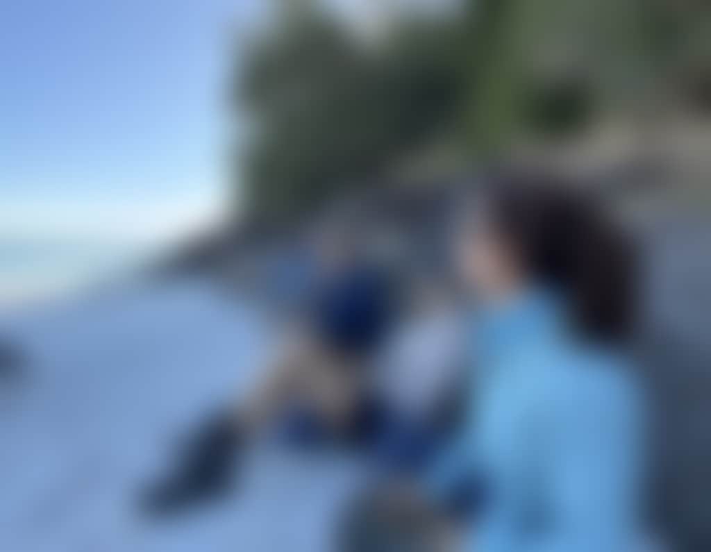
Only 15 people start the track each day, and the two camps are reserved for walkers alone. You carry what you need, sleep on the island, and for long stretches have the track to yourself, reaching coves and lookouts the day boats never see.

Walking Through Ngaro Country
The track takes its name from the Ngaro People, Traditional Owners of this land and sea Country. The Ngaro People have called these islands home for more than 9,000 years, and the route was created in partnership with Ngaro families so walkers can engage with that connection respectfully.
Ngaro stories are built into the track through art installations and signs tied to the places you walk through. This is not decoration added after the fact. It is part of how the walk explains where you are. The camps carry Ngaro names, Bowarri yamba and Dhula yamba, and viewpoints like Bari dhili (Rock Eye) carry Ngaro family artwork.
That context changes how you move through Whitsunday Island. You are not just walking from one viewpoint to another. You are crossing Country with a long human history, through landscapes that have held story, food, travel and family connection for thousands of years.
Local's Tip: Do not rush past the Ngaro family art installations. They are the most direct link to the people whose Country this is, and they change how the rest of the walk reads.
Two Ways To Do The Walk
There are two main ways to complete the Ngaro Track: independently, carrying your own gear, or with the supported Walk in Comfort option through World Expeditions.
Both options follow the same route across Whitsunday Island. The right choice comes down to how much you want to carry, how much you want organised, and how experienced you are with remote walking.
Independent Ngaro Track
You book access through the official Ngaro Track website, organise transfers to and from Whitsunday Island, and carry your own camping gear, food and water treatment. The two overnight camps along the way are reserved for Ngaro Track walkers.
The camps are architecturally designed and deliberately low-impact, with elevated timber tent platforms, a communal shelter for meal prep, composting toilets and rainwater tanks. Treat the tank water before drinking, cook on fuel stoves only, and pack out everything you bring in.
Walk In Comfort With World Expeditions
The guided Walk in Comfort option keeps the walk active, but takes care of the planning. World Expeditions handles the guiding, meals, camps and day-to-day organising. You bring your clothes and toiletries, carry a lighter pack, and walk with guides who know the route.
Local's tip: The food is the surprise of the guided walk. Tofu curry after a day on the track, French toast in the morning, meringue, even a glass of chardonnay at camp. Not the kind of meals you usually associate with a multi-day island walk.
That comfort does not make the track easy. The terrain is the terrain, and the days are long. You still need to train. You just do not need to carry everything.
The route is 32 kilometres in total, split across three walking days with two nights on Whitsunday Island.

Day 1: South Whitehaven To Moon Camp
8.7 kilometres, around five hours.
The walk begins at the southern end of Whitehaven Beach, reached by boat, with the option to visit the Whitehaven Beach lookout before you start. This is familiar Whitsundays territory: white silica sand, clear water and island headlands. The route soon moves beyond the beach, heading to Chance Bay, where the Ngaro Track trailhead sits 100 metres past the Chance Bay camping area.
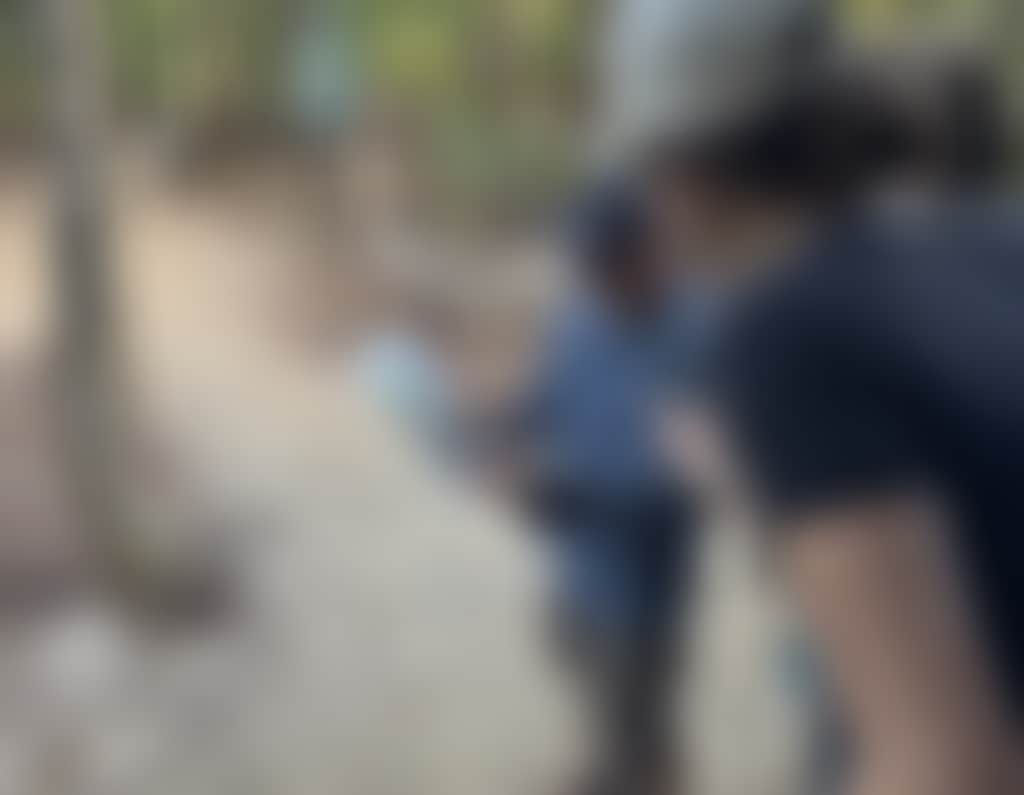
From there the track climbs through forest growing from sand, past Theos Point and the Bari dhili viewpoint. This first day sets up the contrast that runs through the whole walk. You are close to the coast, but often walking in the shade, inland, rather than along the beach itself.
The first night is Bowarri yamba, also known as Moon Camp, perched on a ridgeline above Silica Bay. It is a quiet place to watch the moon rise over the ocean before the climb ahead.

Day 2: Whitsunday Craig And Tree Camp
10.8 kilometres, around seven hours.
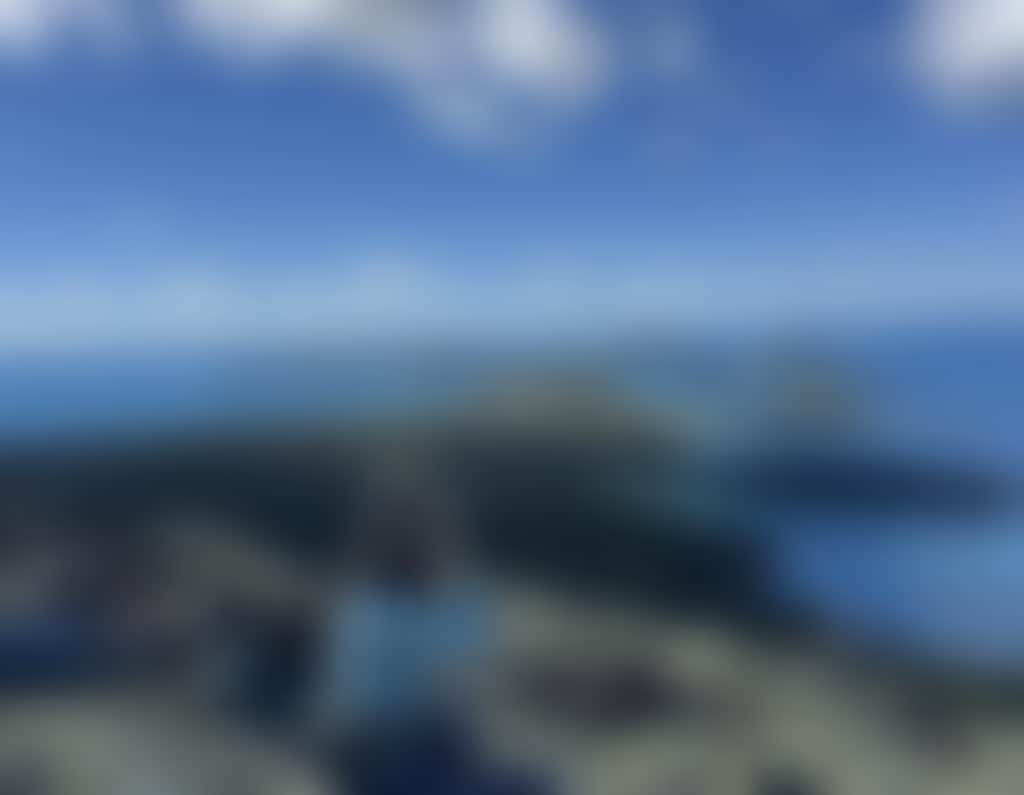
Day two includes the climb to Whitsunday Craig, the highest point on the Ngaro Track at 353 metres. This is one of the clearest reasons to do the walk. From the top, you see Whitsunday Island, surrounding bays and the Coral Sea from a position only reached on foot.
The route involves a steady climb over rocky ground, with stairs and ladders guiding you to the summit. It is not technical climbing, but it does require confidence on uneven terrain and enough fitness to keep moving with a pack. Lower Craig and Crayfish Bay offer lookouts and more Ngaro family art installations along the way.
Day 2: Whitsunday Craig And Tree Camp
10.8 kilometres, around seven hours.
Day two includes the climb to Whitsunday Craig, the highest point on the Ngaro Track at 353 metres. This is one of the clearest reasons to do the walk. From the top, you see Whitsunday Island, surrounding bays and the Coral Sea from a position only reached on foot.
The route involves a steady climb over rocky ground, with stairs and ladders guiding you to the summit. It is not technical climbing, but it does require confidence on uneven terrain and enough fitness to keep moving with a pack. Lower Craig and Crayfish Bay offer lookouts and more Ngaro family art installations along the way.
Local's tip: Day two is the big one. Ladders and stairs wait near the top of the climb, so go easy in the morning and keep something in reserve for the final push.
After Whitsunday Craig, the track drops down to Dhula yamba, also known as Tree Camp, set back from the beach at Torres Herald Bay. The shoreline is a short walk away, ideal for a cooling dip at the end of the day.

Day 3: Mangroves, Hill Inlet And Tongue Point
12.8 kilometres, around eight hours.
The final day moves north toward Hill Inlet. It opens with the only mangrove boardwalk in The Whitsundays and the tranquil Gumi Ponds wetland, taking you closer to the tidal edge of the island.
Day 3: Mangroves, Hill Inlet And Tongue Point
12.8 kilometres, around eight hours.
The final day moves north toward Hill Inlet. It opens with the only mangrove boardwalk in The Whitsundays and the tranquil Gumi Ponds wetland, taking you closer to the tidal edge of the island.
Local's tip: The mangrove boardwalk catches most walkers off guard. After two days of silica sand, forest and ridgeline, the tidal mangrove side of Whitsunday Island is a different world, and a good reminder of how much terrain you cover in three days.
From there, the route passes Murmuri bari (Round Rock) and Upper Inlet, both home to cultural art installations, before reaching the Hill Inlet lookouts. The view is familiar. The arrival is not.
The walk finishes at Tongue Point, with a boat departure from Tongue Bay back to the mainland or onward travel, depending on how you have arranged the trip.

How Hard Is The Ngaro Track?
The Ngaro Track is a remote, multi-day island walk graded 4 to 5 on the Australian Walking Track Grading System. In plain terms, that is moderate to challenging. It includes sand, rock, stairs, steep climbs, ladders, uneven ground, open stretches with little shade, and long days of five to eight hours on foot.
Independent walkers need to be comfortable carrying their own gear and making decisions around food, water treatment, pacing and weather. Guided walkers carry less, but still need enough fitness for full days of walking on the same terrain.
Regular training before the walk will make a real difference. Build up walking distance, include hills where possible, and practise with a loaded pack. Sturdy footwear, sun protection, insect repellent and enough water are essential.
April to October is the best season, with cooler and drier conditions. Weather and tides can affect access and timing, so check current advice before travelling.
Find Your Footing
The Ngaro Track is best for travellers who want a more active way to experience Whitsunday Island.
It works well for active couples who want a shared challenge, groups of friends comfortable with full days outdoors, repeat visitors who have seen Whitehaven and Hill Inlet before, experienced walkers looking for a short remote island route, and soft-adventure travellers who prefer the supported Walk in Comfort option.
It is not the right fit if you want a quick, low-effort lookout visit or a beach-focused day with minimal walking. For that, The Whitsundays has excellent day tours, short walks and boat-based options like the wider Whitsunday Ngaro Sea Trail.
Before You Go
- Book ahead. Independent walker numbers are capped at 15 a day and guided departures run on set dates.
- Organise transfers. Independent bookings do not include transport to and from Whitsunday Island.
- Carry water and treat tank water before drinking.
- Pack for sun, insects, uneven ground and changing island conditions.
- Train with hills and a weighted pack before the walk.
- Respect cultural interpretation, signage and track access rules.
- Allow time in Airlie Beach before and after the walk, especially when transfers depend on weather or tides.
- Check the Getting Here guide for flights, ferries and driving directions to the region.
THE LONGER WAY TO THE ICONS
The Island Between The Icons
Most trips to Whitsunday Island are measured in hours. You land, photograph Hill Inlet or Whitehaven, and return to the boat by mid-afternoon.
The Ngaro Track measures it in days. You walk the length of the island, sleep on it, and follow a route shaped by the people who have known it longest.
By the time you reach Hill Inlet, the view has not changed. You have.
Sign up for our latest deals, events, specials & secrets!